M'Aidez
This post covers a couple of days. Having guests on board means that the oodles of endless time for futile activity like blog writing is compromised. Chris and Ebba have now departed on the rest of their journey back to the UK by boat and train, so I can return to futile activity.
I have edited a screenshot with a very rough approximation of our route. I have been trying to keep an electronic log on an Android tablet, but occasionally it does not work and more commonly I forget. I have to confess to being a bit of a log keeping heretic on this type of sailing. I do keep accurate engine hours records and I leave the rest to the electronics with occasional entries, mostly to record changes in passage plan. I know this is not strictly RYA and (Saint) Tom Cunliffe (a well know sailing doyen and writer) would disapprove, but there we are.
 |
| M releasing the long lines ashore |
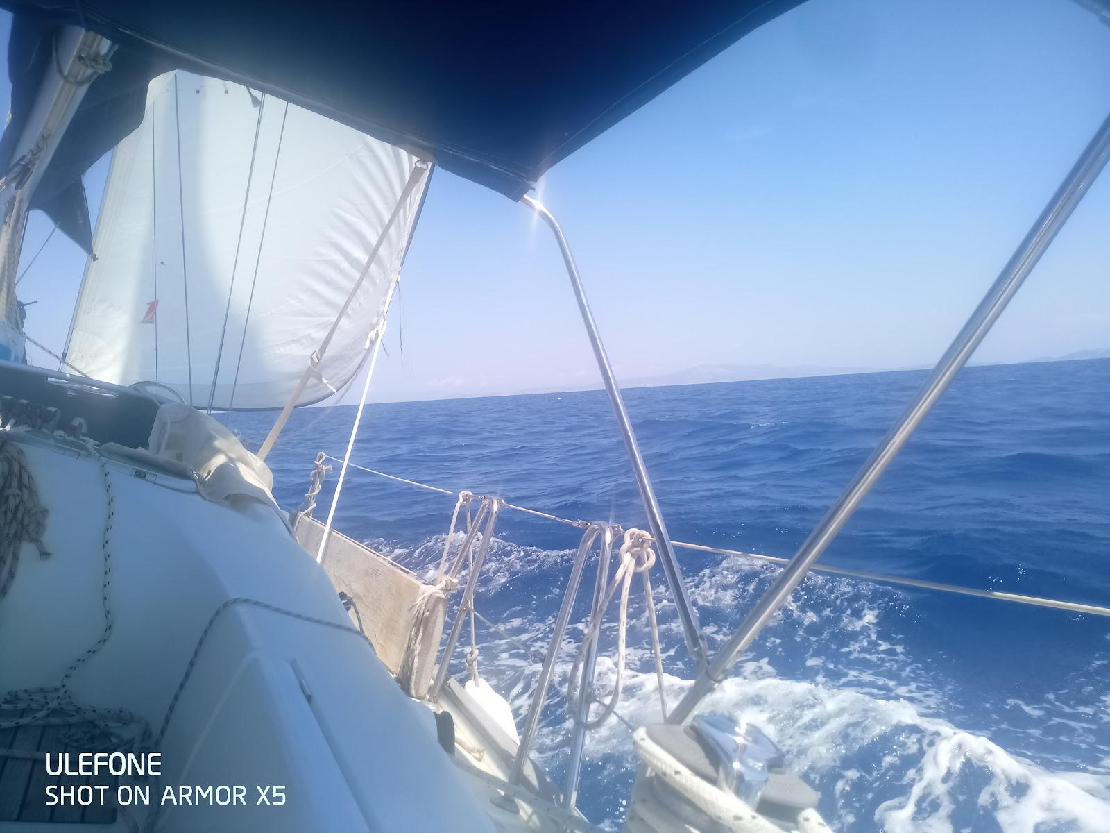
We left Kalamos island (red line starting NE of the picture) around 10am and sailed on a fine breeze from the NW towards Nisos Atakos, passing S of the island. There are a couple of nice anchorages on this coast I had thought for a lunch stop but they were, as usual, very busy.
So we carried on.
 A few miles past Atakos there was a Mayday broadcast on channel 16. You are obliged to pay attention to these so I got to the chart table with paper and pencil to record the message. I have done this many times and usually the signal is coming from somewhere distant, like the English channel.
A somewhat tremulous English female voice was speaking for the casualty vessel. It was a serious incident. They had an engine fire which was now extinguished but were now drifting close to land and unable to sail.
A variety of people were responding to her including the Greek Coast Guard and a bloke with an Irish accent who seemed to be in charge in some way. The Greek Coast Guard signals were unintelligible to me and obviously to the casualty as well, however the Irish guy was making good communication with them. It then became clear they were on a flotilla holiday, totally without experience and had no idea what their position was. Eventually the Irish chap managed to explain to this lady how to switch on her GPS and took her through some menu options until she found a Lat/Long to read out.
I noted this down and charted it on the plotter. They were positioned about 5 miles S of us. It turned out the Irish chap was the Sailing holidays lead crew but he was nowhere in the vicinity. I therefore felt obliged to get involved.
I radioed the casualty directly. The girl on the other end was holding it together very well and remaining calm but was slowly getting a bit ragged. It was far from a pukka VHF communication.I asked if she could confirm her position as lying on the E side of the S of Ithika to make sure the position was correct. She went upstairs to her husband and came back to say that they were lying SW of Atokos. I though this was a strange way of describing the position they had given, but technically correct and I assumed that had started there and drifted SW to the given position. I asked her to repeat the Lat/Long, which she did and this showed some movement SW from the original just off Ithika. I asked if they could see any vessels in their vicinity, and she said she could not.
In the absence of any official help imminent I said we would head in there direction and stand by them. So off we set at best possible speed.
The Coast Guard had been listening to this and asked for my phone number. They then phoned up about 15 minutes later to ask for my position, which I gave them. They said for me to continue to they casualty and they would launch a craft.
We hared S (the straight red line) but as we approached the casualty position there was no sign of a yacht in distress. There were a couple about but motoring happily and clearly not the casualty. I radioed again and asked her to repeat the position, which she did. I charted it again - we were there going round in circles (red circles), so were the Coast Guard. But no sign of the casualty.
 At this point the Coast Guard radioed to the casualty vessel. There was a huge Superfast ferry passing down the Ionian. He cleverly managed to get the increasingly disintegrating casualty radio operator to identify that she could see the ferry passing them from right to left. From this he confirmed that they were in fact back just SW of Atokos, where we had started!
The Coast Guard fast rib set off at full pace back towards them. I then radioed the casualty vessel. By this time she had just about had enough. The main sail was jammed in it's in-mast furling, there was little breeze where they were, they ahd no engine and they were increasingly close to shore. I told her the Coast Guard now knew where they were and would be there very soon. I said that I wondered if she had given the wrong co-ordinates by reading out her screen cursor position rather than the vessel position. She then gave me the final confession in a tearful voice "The trouble is I haven't got a clue, and my husband is upstairs on the helm, but he hasn't got a clue either".
I have to say I felt very sorry for her. She managed to keep it together very bravely through most of their ordeal. But I am also angry that a flotilla company would allow someone to pay to take a yacht out in such a state of unpreparedness.
An engine fire is a particularly dangerous emergency irrespective of the fire itself, and they had done really well dealing with that. The next thing that can happen is that the rubber/plastic cooling water hoses burn and you can get rapid water ingress. The chances of this couple knowing how to close their sea cock was small.
I may actually write to the company to express myself and ask for my fuel back!
I may actually write to the company to express myself and ask for my fuel back!
 |
| Atokos Island |
 The plan was for a quiet night as the next day we were heading 40 miles across open water towards the Gulf of Patra to deliver Chris and Ebba to the ferry port at Patras. However we had an excellent feed ashore and the plan was only partially achieved.
The weather forecast had been for pretty settled weather but there seemed a change in the air. I reviewed the forecast on the Poseidon System site. This now showed that the next day there would br Force 5 and 6 NW winds coming in around midday in the area we were sailing across and lasting through until reducing by midnight. In itself this would not be an issue however Mesolonghi, where we were planning to berth, has extensive shallows with a narrow dredged channel a mile or so long leading into the harbour from the S. On reading up a bit more it seemed clear that a brisk NW will have seas heaping up across a long fetch towards these shallows and there could well be breaking waves in the channel.
So the plan was to get up early and try to get down there before any big seas build up in early afternoon. Assuming the timings are accurate.
 |
| Standards are maintained - nail varnish repairs |
 So we rose at first light around 7am and got off promptly. The weather was not at all what was forecast - a moderate SE breeze, i.e. on the nose for our passage. I don't like unexpected weather when on a mildly dodgy passage so we considered the options. Ebba rapidly came up with a plan. A few minutes on her phone and she had confirmed there was a ferry first thing in the morning from Sami on Cephalonia that would fit the rest of their itinerary. I don't know why I bother.
 |
| Buttock diving championship |
 So the rest of the day was a pleasant beat to windward around the S end of Ithika (blue zig zags in chart). We stopped at a little bay, Ormos Ay Andreas on this Southern coast for lunch, and boat jumping practice. This is a very well sheltered and idyllic spot.
We left the shelter of this bay for the final 7nm to Sami to find that the predicted NW blow had indeed arrived and the last stage was in 25-40kt wind, making berthing in Sami interesting.
 |
| The Chair of Philosophy? |
Margaret says Sami has the best local supermarkets in the Ionian so far.😞....and a Laundry!!!


Comments
Post a Comment